The geography of Antioquia is defined by the Central and Western ranges of the Colombian Andes, which have shaped a landscape of majestic mountains, deep canyons, mighty rivers, and rugged mule trails. Although this landscape has been fundamental to the region’s identity, natural wealth, and beauty, for centuries it posed one of the greatest challenges to transportation, communications, and trade.
In an era when there were no paved roads, modern bridges, or mechanized transportation systems, traveling between towns such as Medellín, Santa Fe de Antioquia, Jericó, Jardín, or Titiribí could take several days or even weeks. Added to these difficulties were isolation, a shortage of shelters, and the lack of basic services, which made every journey a true feat.
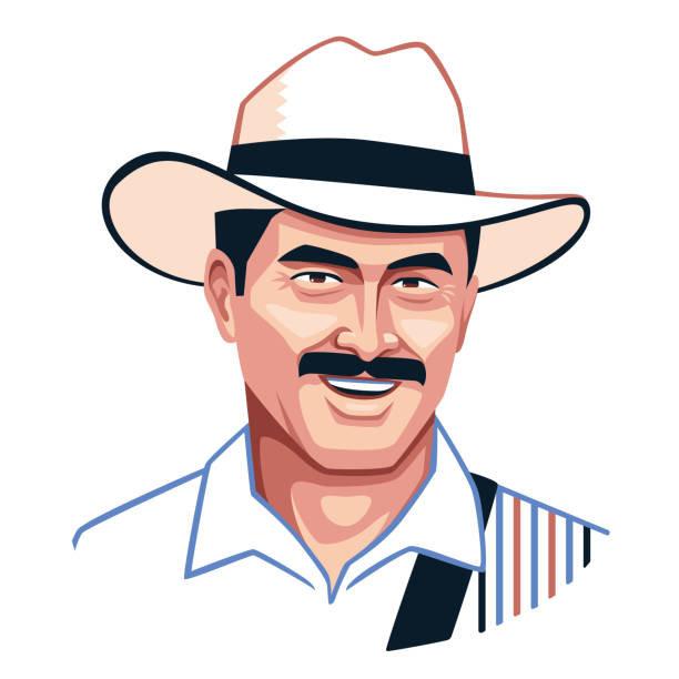
Long before the arrival of the railroad and motor vehicles, it was the muleteers of Antioquia who, accompanied by their mules, opened up routes, connected territories, and transported essential goods such as coffee, gold, panela, textiles, tools, and food, driving the growth of towns and strengthening the region’s trade networks.